This website owned and maintained by Warrnambool City Council
PO Box 198, 25 Liebig Street Warrnambool Victoria 3280

Downloadable Resources:
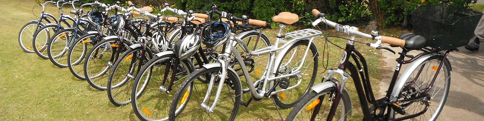
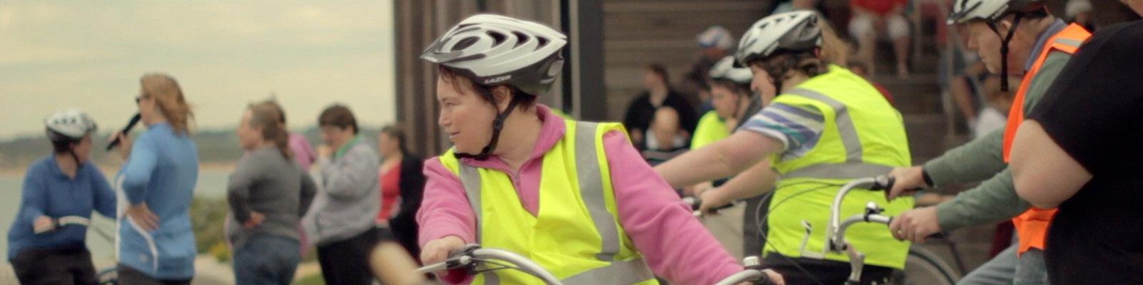
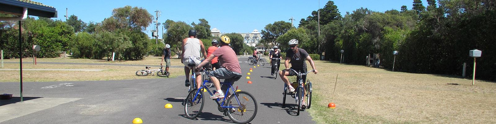
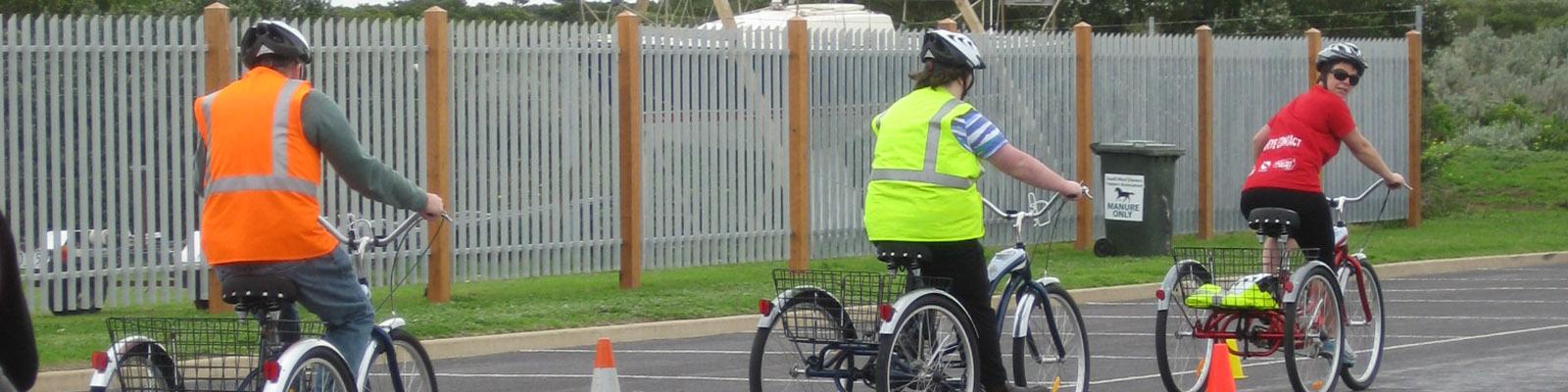
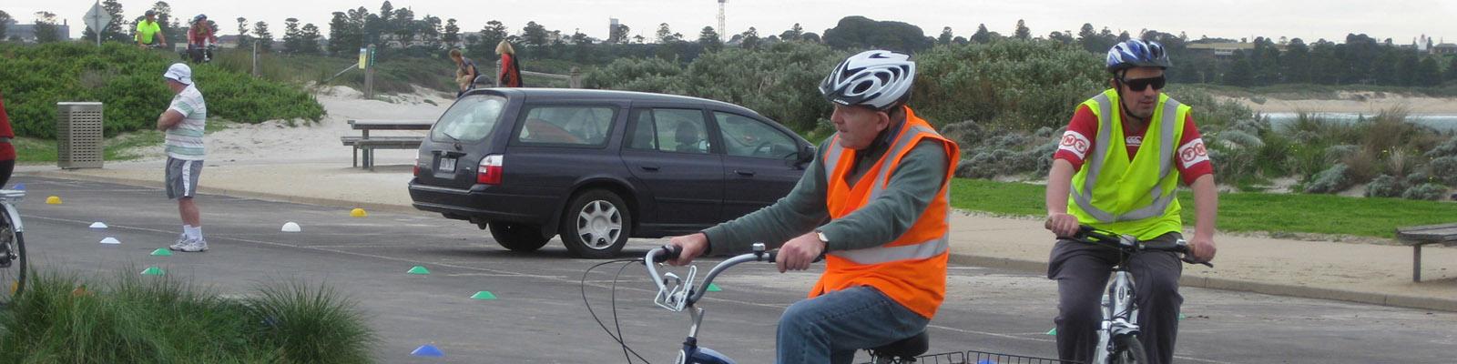
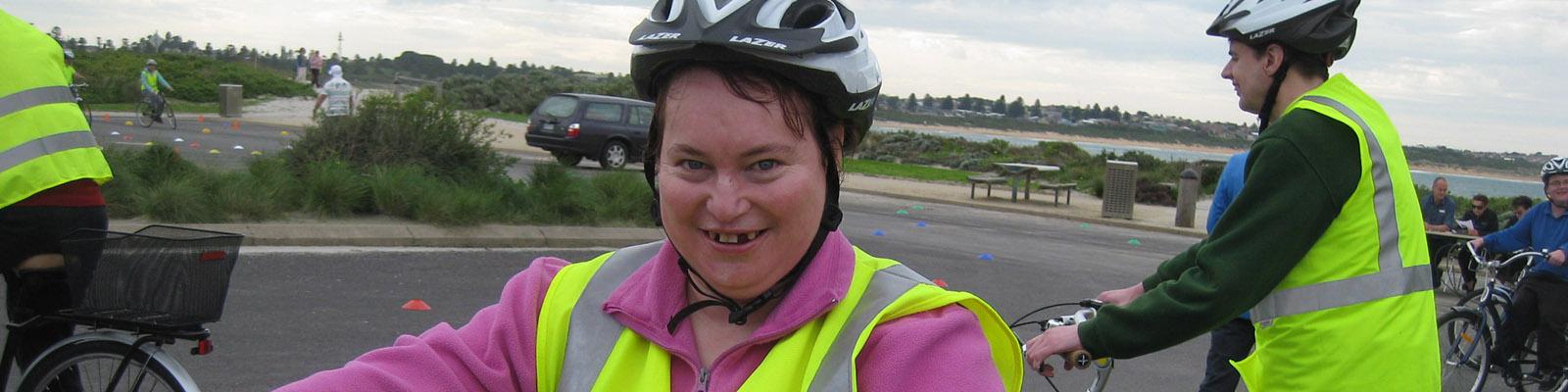
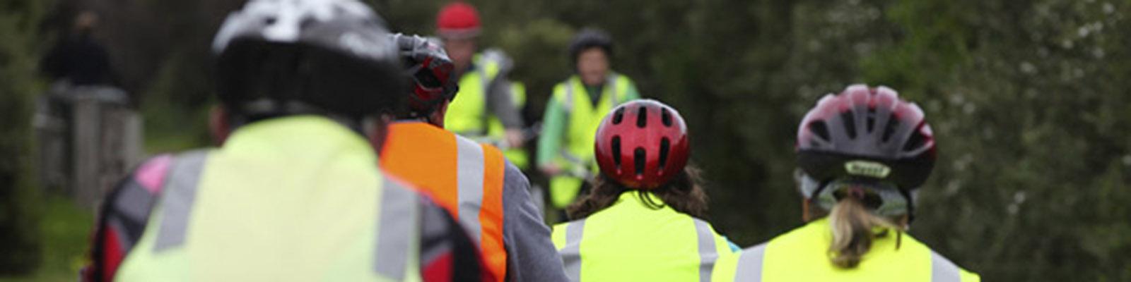
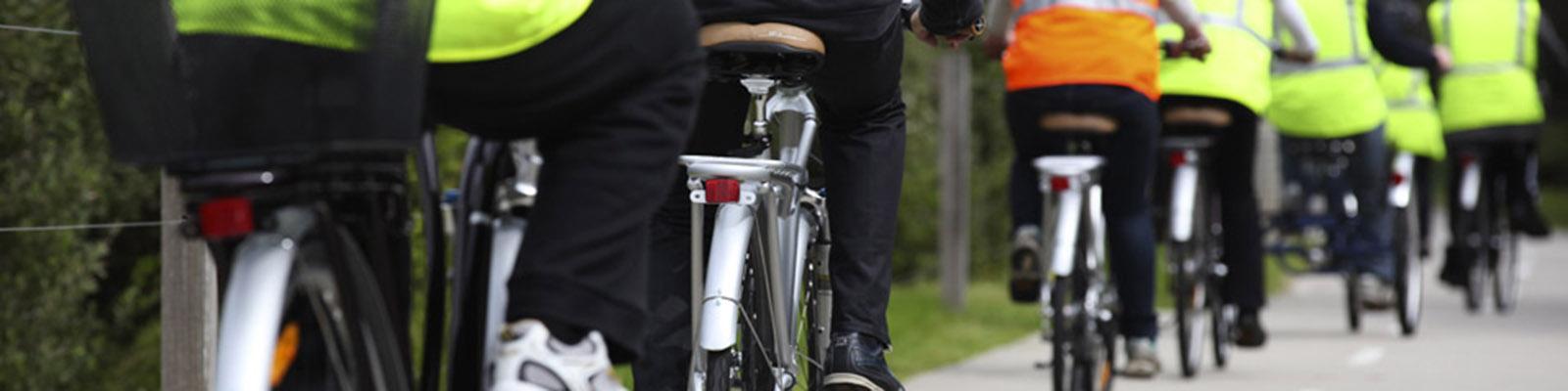
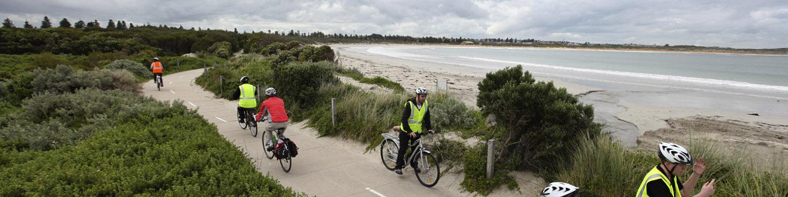
Social Cycling - No Lycra Required
Friendly social cycling groups ride along Warrnambool's paths and trails regularly
How to join the social cyclists:
- You can register to join the Social Cyclists at the Archie Graham Community Centre
- Collect a Rusty Riders Checklist - it’s a list of basic skills that riders need to have to ride safely with the group.
- Come to the bike shed in Shipwreck Bay Holiday Park on the first Friday of the month and have your skills checked by experienced members.
What to bring: own bike & helmet (If you have them – they are available to borrow), enclosed footwear & light coloured clothing, water bottle, coat for wet cold & windy weather, mobile phone – if possible.
| DAYS | TIMES |
|---|---|
|
Mondays |
10am - 11.30am |
|
Fridays |
10am - 11.30am |
For more information contact Archie Graham Community Centre on 55594920
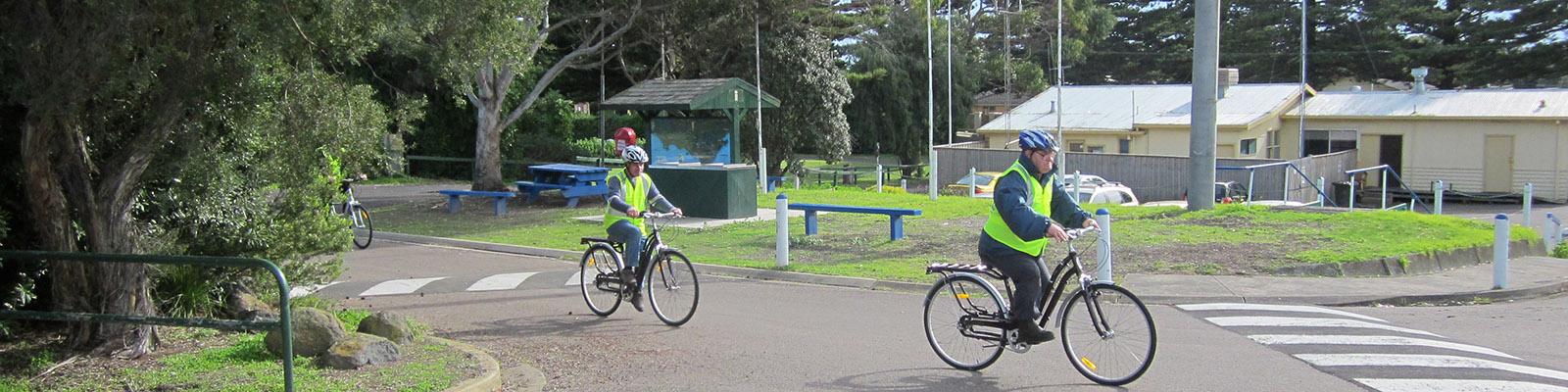
Become a Volunteer Ride Organiser:
Community members who are interested in assisting others to ride in the Social Cycling groups are invited to call the Programs Co-ordinator at the Archie Graham Community Centre on 55594920.
Volunteers are required to be registered with Warrnambool City Council through Volunteering Warrnambool.
On road bike lanes:
Warrnambool has kilometres of dedicated bike lanes on the City’s roads. The Warrnambool Sustainable Transport Map includes all bike lanes in the City. This can be downloaded from HERE
Ride to School
Council’s Healthy Moves program includes maps of safe walking/cycling routes to primary schools, ride to school days and more. For more information ask at your school or go to http://www.healthymoves.net.au/
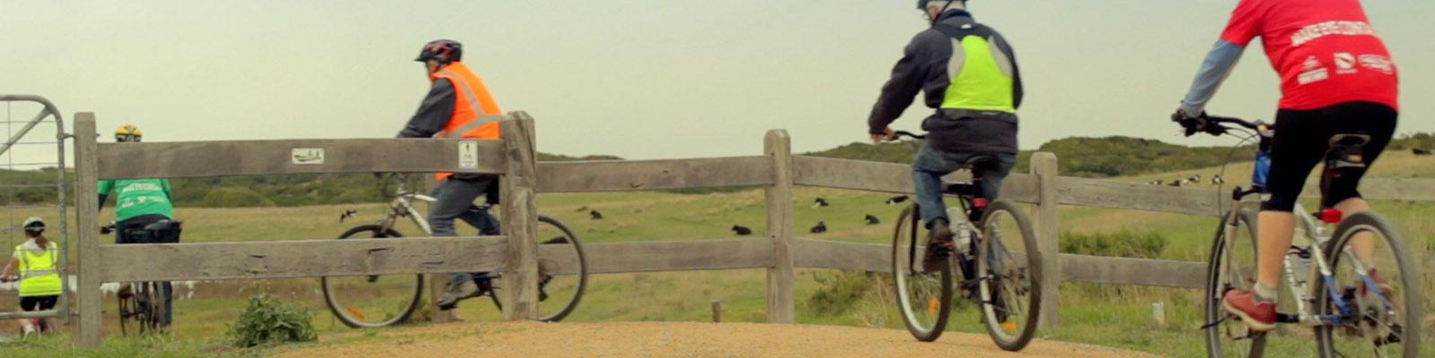
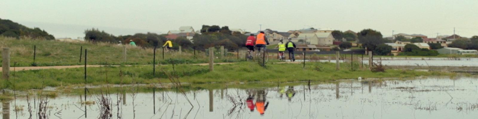
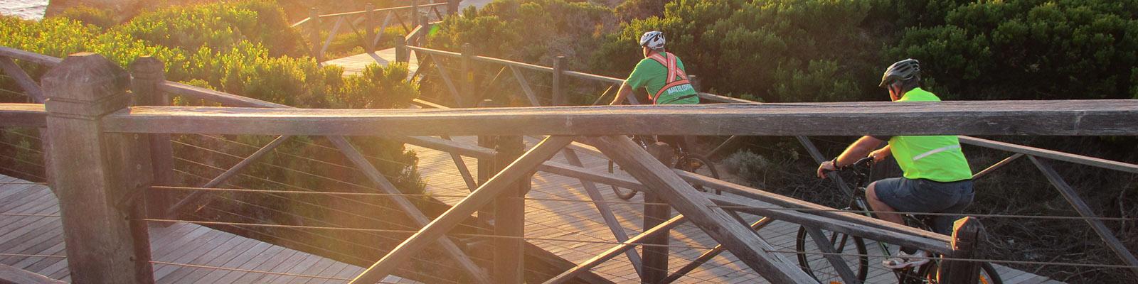
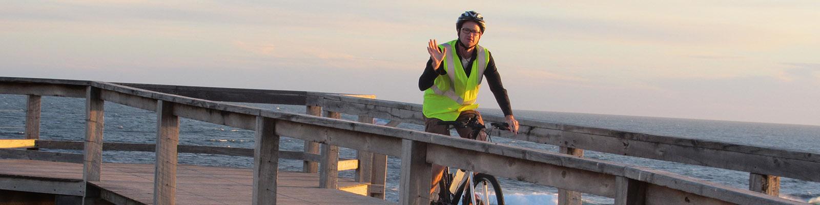
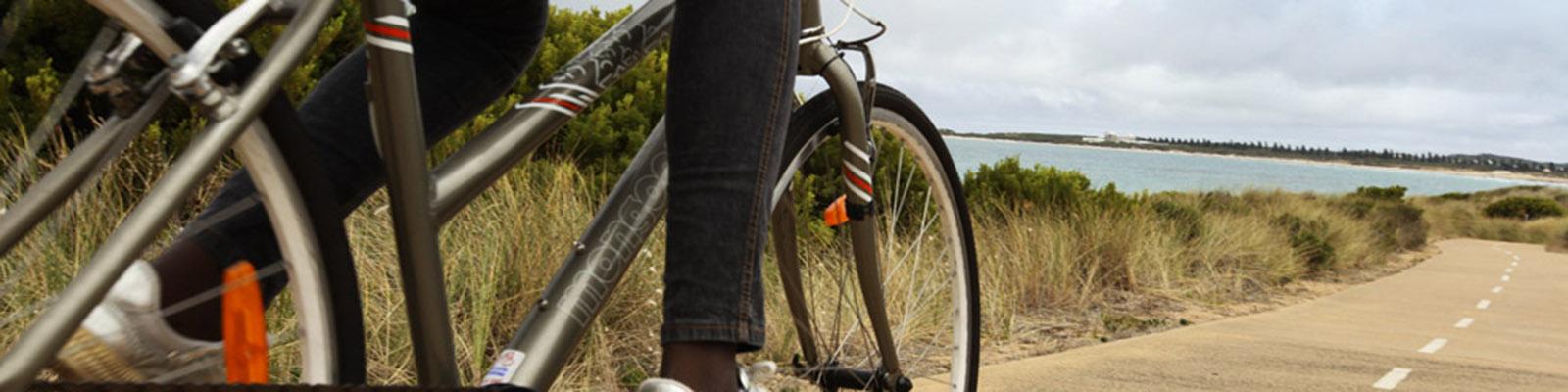
Off road bike paths:
Warrnambool has loads of great off road cycling paths and trails for you to enjoy with your friends and family. Try a new one today!
Click here to access a map showing location of these paths.
- Warrnambool Foreshore Promenade Walk (map reference Y11-Z31)
A shared concrete path along Warrnambool’s beach front, suitable for walking or cycling. Drinking water stations and toilets available.
LOCATION: Breakwater to Logans Beach LENGTH: 5.7 kms - Albert Park (map ref L21)
Gravel paths suitable for walking or cycling. Ideal for families. Playground.
LOCATION: Entry from Cramer Street or Coulstock Street LENGTH 3 kms - Lake Pertobe Adventure Playground (map ref S12)
Scenic gravel walking tracks around the lake and park are suitable for walking or cycling. Ideal for families.
LOCATION: Off Pertobe Road LENGTH – Around the Lake is approx 3kms - Russell’s Creek Walk (map ref D12-D26)
A shared concrete pathway suitable for walking or cycling.
LOCATION: Ardlie Street to Garden Street and Golden Spring Court to Booval Drive/Sharpe Avenue. LENGTH approx. 4 kms - Thunder Point Coastal Reserve Walk (map ref W6 – X9)
Minutes from the city centre this reserve offers some of the best coastal scenery in the area.
LOCATION: Off MacDonald Street (Thunder Point car park to Pickering Point car park) LENGTH: 320m - Warrnambool to Port Fairy Rail Trail (map ref.via L1)
The 37km Port Fairy - Warrnambool Rail Trail links Warrnambool to the historic townships of Port Fairy and Koroit.
There are three major trail heads where you can start or complete your journey: Warrnambool Breakwater precinct, Koroit Railway Station and Regent Street in Port Fairy. Gravel paths suitable for walking or cycling. For more information: www.portfairytowarrnamboolrailtrail.com